Benoa Harbour Layover, Bali: Turtles and Tuna
Part of the full Bali Layover: Uluwatu Temple From DPS
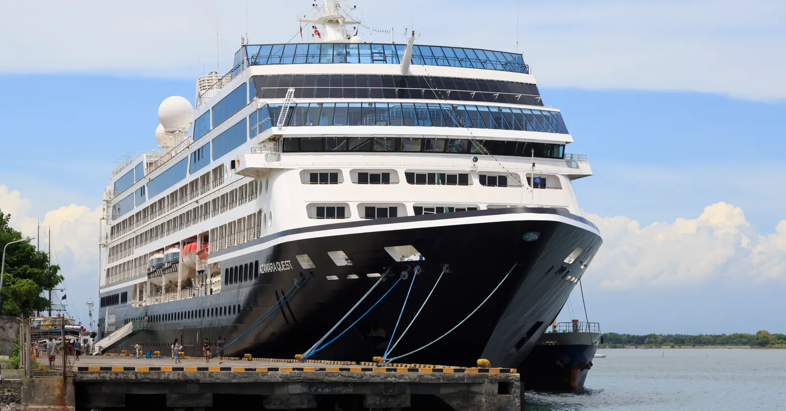
Benoa Harbour in Bali ties cruise ships up a few hundred metres from a tuna longline fleet, and a 110-metre bridge off the same spit reaches Serangan, the island the boats here call Turtle Island.
Pura Sakenan and the turtle centre on Serangan
Serangan was a separate island reachable only by boat until reclamation in the 1990s pushed it from 112 hectares to 481 and hung a 110-metre bridge off the mainland, which is why a place that used to be a pilgrimage by sea is now a five-minute drive. Pura Sakenan stands near the water at the western end, attributed to the Javanese priest Nirartha in the 16th century, and it is one of the temples Balinese families cross to in numbers on the closing day of Kuningan. The turtle conservation and education centre on the same island keeps and releases rescued green turtles, which is the other half of why the island is named the way it is.
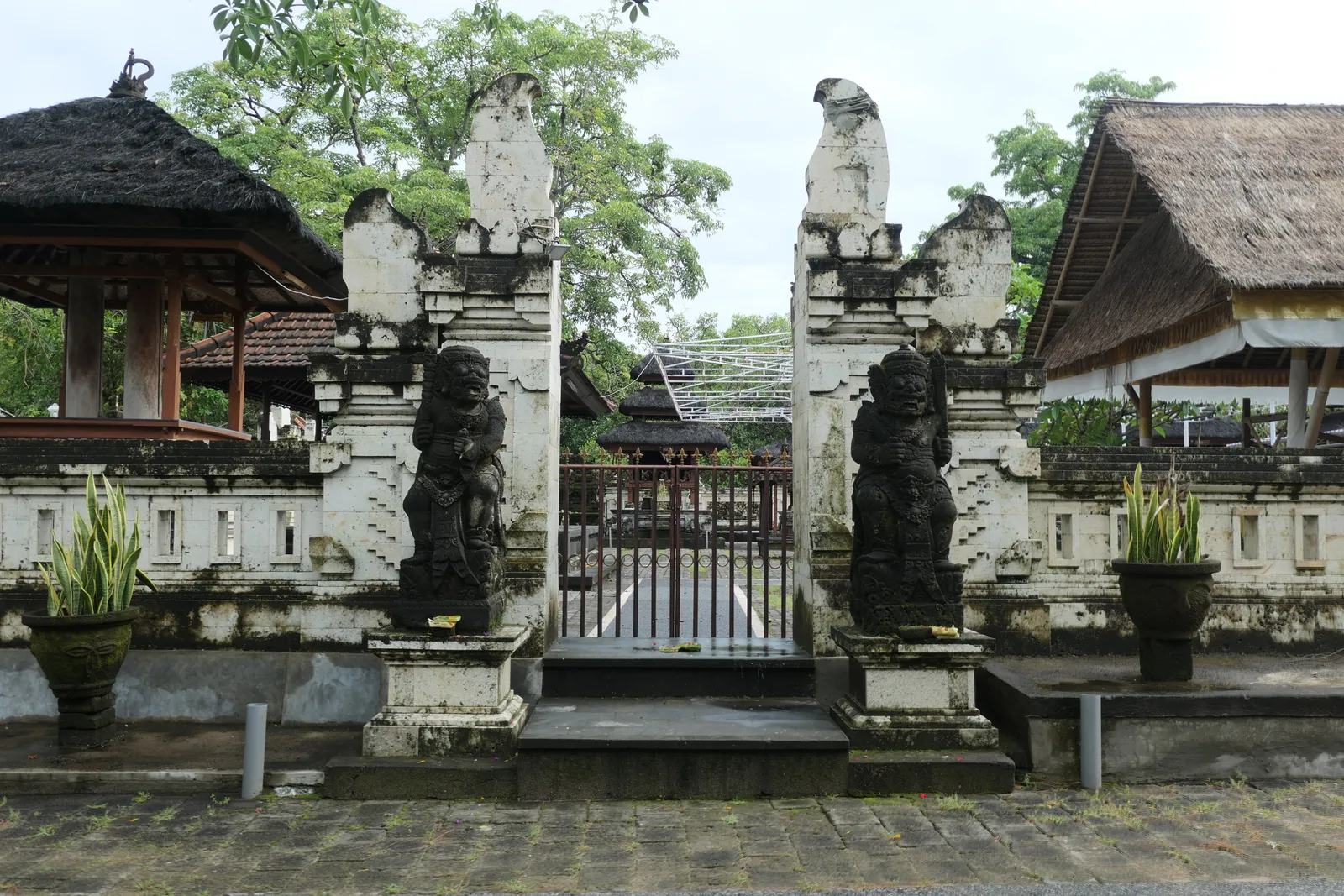
Boats also run to the island across the shallows rather than around by road, and a glass-bottom boat trip from this side of the bay takes in the mangroves along the way, which is the only way to see them without a road detour.
The toll road out of Benoa runs on a bridge over the bay
The Bali Mandara toll road begins at the neck of this spit and crosses 8.3 kilometres of the Gulf of Benoa on a bridge rather than going around it, which was the only option available: the land route past the runway could not be widened. Twenty minutes to I Gusti Ngurah Rai International Airport is realistic from the port gate, and it holds up better through the evening peak than any road through Kuta does.
No Trans Metro Dewata corridor serves the port, so the ride is a car whichever direction you are going. For a ship rather than a flight, the number that matters is the all-aboard time, and the port’s own shuttle between the gate and the berth is the last leg of it rather than something to add on afterwards.
Tanjung Benoa is across the harbour mouth and half an hour around it
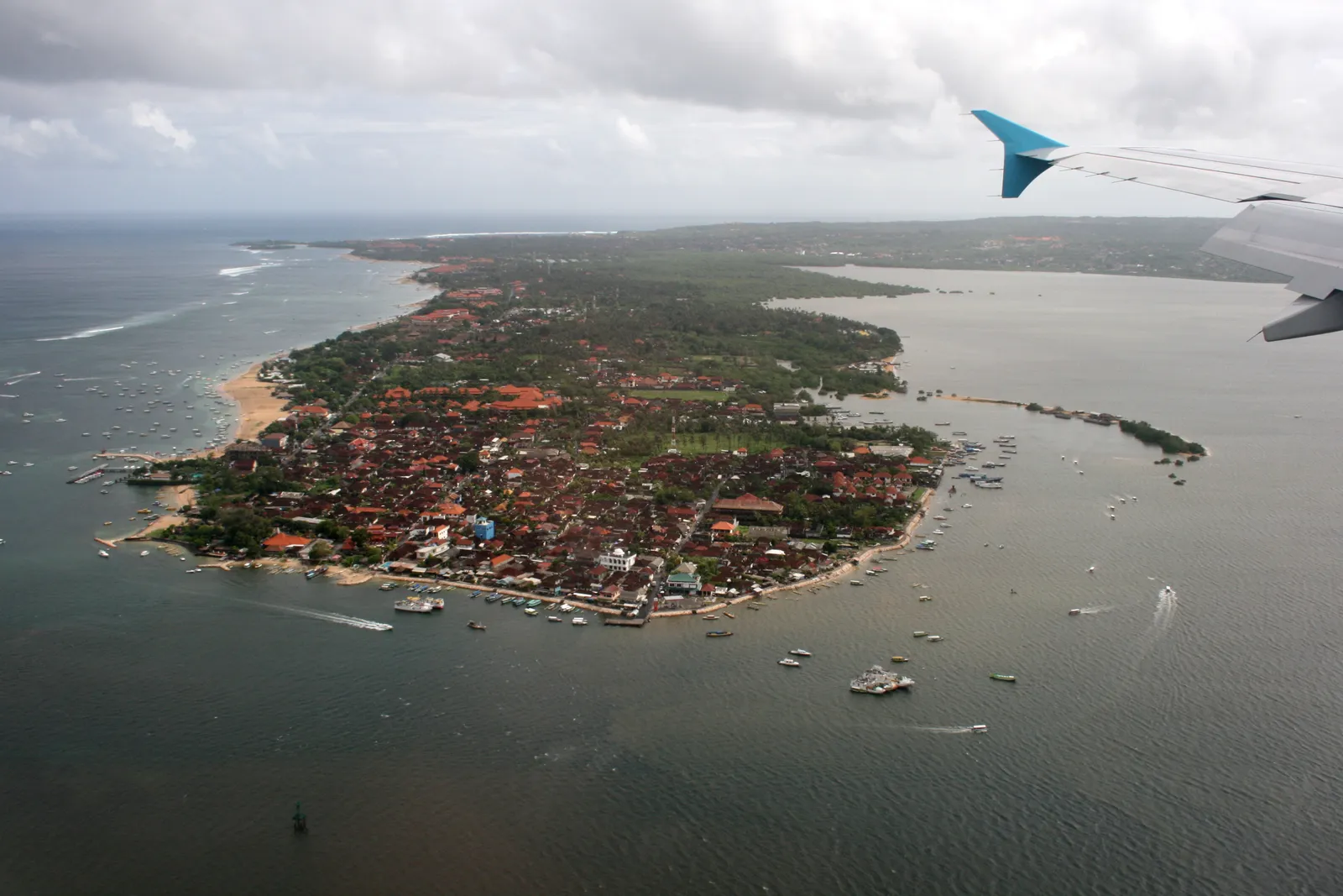
The peninsula on the far side of the entrance is a narrow strip of hotels and boat sheds, and from the air it reads as a sandbar with a town on it. Everything that involves an engine and a life jacket happens here: jet skis, parasails, banana boats and the flyboards, all working the sheltered water inside the reef rather than the open sea. The road route runs around the head of the bay and takes about twenty-five minutes, which is a lot of driving for what it is unless the water is the point of the day.
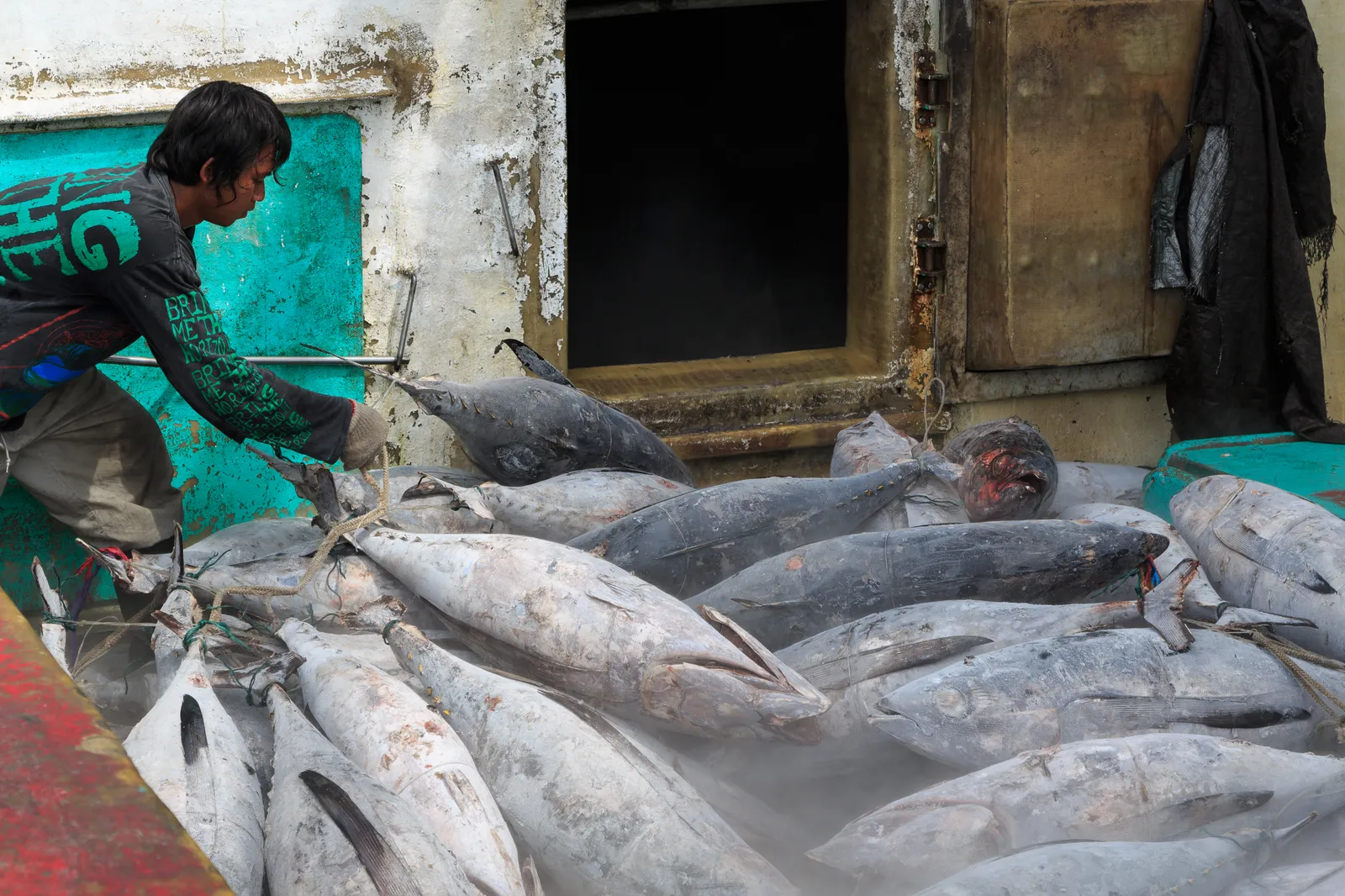
Benoa’s tuna quays work a few hundred metres from the cruise berth
This was a fishing port long before it handled passengers, and it still is one: a longline fleet works the Indian Ocean on trips of two to four weeks and comes back to unload yellowfin, bigeye and albacore onto quays lined with exporters’ processing sheds. The passenger side was rebuilt as a maritime tourism hub with berths for three large ships at once, but the fish never moved out, so the two halves operate side by side.
Both halves sit inside the same secured port area, and the only way out of it is a shuttle between the berth and the terminal gate, with nothing on foot at the far end: whatever comes ashore stays with you for the entire day.
If the bay itself is not the plan, Sanur is about fifteen minutes north up the coast road and has a car-free seafront to walk, and the main Bali guide covers the temple and the statue out on the Bukit for a longer day ashore.
Frequently asked questions
What should I do during a layover near Benoa Harbour in Bali?
Serangan is the closest thing worth crossing to: a 110-metre bridge off the same spit reaches the island the boats call Turtle Island, where a conservation centre keeps rescued green turtles and Pura Sakenan, a 16th-century temple, stands near the water. The working half of Benoa is the other draw, because the cruise berth shares the harbour with a longline fleet that lands yellowfin and bigeye tuna every day of the year. Tanjung Benoa, the watersports strip, is across the harbour mouth and about twenty-five minutes by road around it. Four to six hours covers any two of the three, measured back from an all-aboard time rather than a departure gate.
Can you leave Benoa port on foot?
Not usefully. The berths sit inside a secured port area with a shuttle running between the ship and the terminal gate, and there is nothing within walking distance of the gate itself: the harbour occupies a reclaimed spit with the bypass road at the far end of it. Anything you carry ashore comes back through the same security check on the way in, which is the argument for going ashore with as little as possible. Taxis and app cars wait outside the gate, and the fares from there are metered or fixed rather than negotiated.
Why is a cruise terminal sharing a harbour with a fishing fleet?
Because Benoa was a working port long before it was a cruise one. It is one of Indonesia's main tuna landing harbours, with a longline fleet that works the Indian Ocean on trips of two to four weeks and unloads yellowfin, bigeye and albacore onto quays lined with exporters' processing sheds. The passenger side was rebuilt into a maritime tourism hub with berths for three large ships at once, but the fish quays never went anywhere, so the two sit a few hundred metres apart.
How long does it take to get from Benoa to the airport?
Twenty minutes or so, which is the shortest airport run of anywhere on this coast, because the Bali Mandara toll road starts at the neck of the Benoa spit and crosses 8.3 kilometres of the Gulf of Benoa on a bridge straight to the airport approach. It was built over water because the land route past the runway could not be widened. Drop-offs at I Gusti Ngurah Rai International Airport are unrestricted, and no Trans Metro Dewata corridor serves the port, so the ride is a car either way.